Royal-Mile
A Walk Down the Royal MileEsplanade and Castle HillThe LawnmarketHigh StreetThe CanongateAbbey StrandA Walk Down the Royal Mile
What is the Royal Mile?
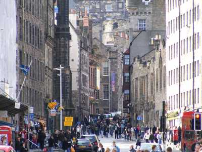
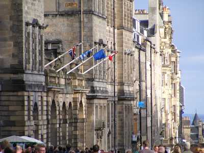
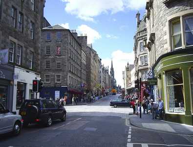
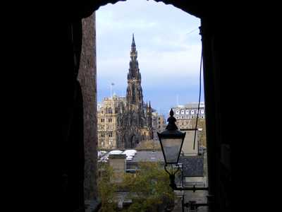
The Royal Mile is the main thoroughfare of Edinburgh's Old Town that runs from the Castle up in the west down to the Palace of Holyroodhouse in the east.
View to Lawnmarket and Castlehill
Use the links on the left of this page to explore the various interconnecting streets that make up The Mile and learn about its fascinating history.
The City Chambers
Short of time? Then we recommend that you look at the High Street and the Canongate sections.
View up Royal Mile from Canongate
They say that the best things in life are free. Well, this fantastic attraction will not cost you a penny to see. Simply take a leisurely stroll down the Royal Mile and take in all the history that surrounds you, using this website as your guide to Edinburgh's fascinating past.
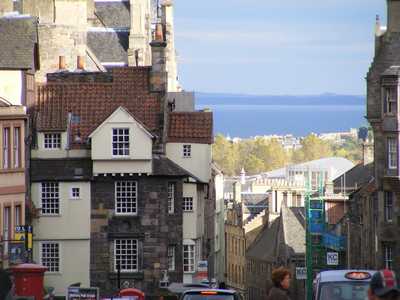
View down the Royal Mile past John Knox's House
The route comprises a series of connecting streets, running downhill from the Castle, across the Esplanade, and through Castle Hill, Lawnmarket, the High Street, Canongate and Abbey Strand, before reaching the Palace of Holyroodhouse at the bottom.
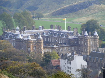
Palace of Holyroodhouse
How long is it?
One mile and 107 yards.
How long does it take to walk?
The Royal Mile runs on a moderately steep incline so it's best to walk from the Castle down to Holyroodhouse. If you were simply top walk straight down the Royal Mile without stopping it would probably take you around 15 to 20 minutes. However, as there is quite literally so much to see, it would take a whole day or more to pack it all in! It is suggested therefore that first time visitors allow around 2 to 3 hours for a more leisurely sightseeing stroll to take in the main sites..
What is the Old Town?
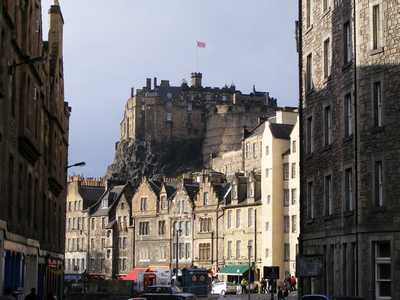
View to Castle
The earliest buildings in Edinburgh were built up next to the Castle for quick protection in the event of attack. Over time however houses gradually spread out along the ridge (tail) which sweeps down eastwards from the old volcanic core (cragg) upon which the Castle is situated.
In 1560 a defensive wall (the Flodden Wall) was built around Edinburgh's Old Town. This followed a disastrous defeat by the Scots under King James IV at Flodden Field in Northumberland and consequent worries over an English invasion. The wall lasted for around 200 years and was important in defining the boundaries of the Town.
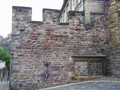
Flodden Wall
Space limitations in the Old Town gave rise to some of the earliest "high rise" buildings in the world, with multi-story houses being the norm from the 1500s onwards. It is estimated that during the 18th century the population of the Old Town swelled to around 80,000 people (cf 1998 estimate - 8,000). This gave rise to unsanitary and extremely cramped conditions for its residents. As a result the City Fathers decided to run a competition to design a New Town on farmland mainly to the north of the Old Town. This was won by a 22 year old architect James Craig and the result is the magnificent Georgian New Town that we see today. Following a prolonged slump in the population of the Old Town there has been a revival in recent years; from 3,142 in 1981, to 5,357 in 1991, and about 8,000 in 1998.
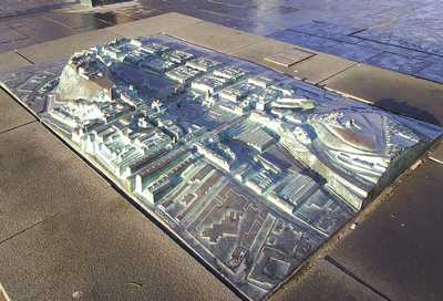
Model showing the Old and New Towns
Closes, vennels and wynds
Advocates Close
Running off at right angles in a fishbone pattern along the Royal Mile is a unique collection of closes, vennels and wynds. These relatively small but bustling passageways gave access to the many dwellings, businesses and spaces which lay behind the Mile and are still in common use to this day.
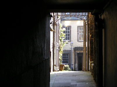
Tweedale Court on the High Street
Now begin your Walk Down the Royal Mile